
Seth & Taylor
Seth & Taylor
Beehive Trail

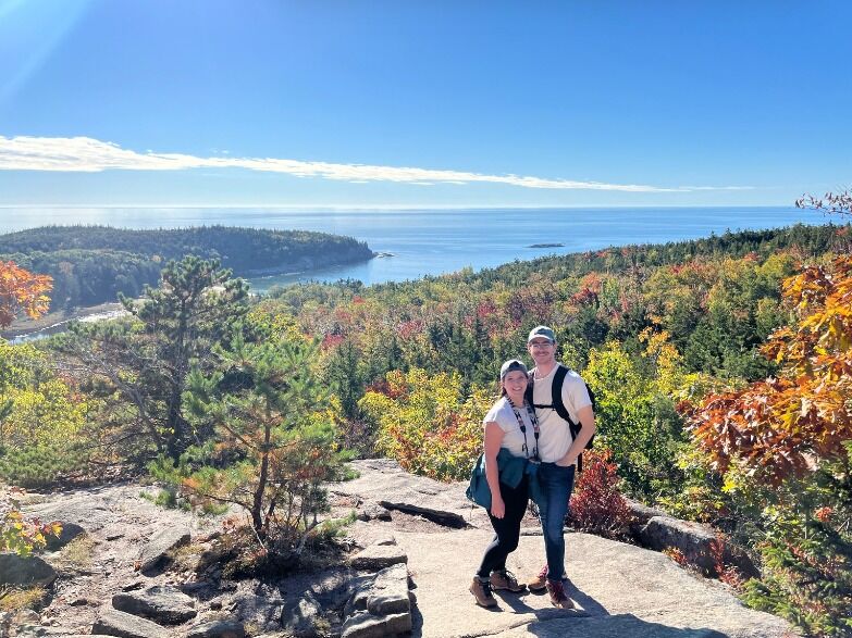
Distance: 1.4 mile loop
Difficulty: ☆☆☆☆
Details: This hike is definitely not for people afraid of heights or exposed edges (Taylor needed to take deep breaths a couple of times). It includes steep granite staircases and iron rungs on exposed cliff faces that you'll need to scale; that being said, it was one of the most breathtaking views we saw on our last trip!
Tip: Park on the side of the road slightly past Sand Beach (the parking lot there and at Hull's Cove will be full), and follow the signs to the "Beehive Trailhead"/"Gorham Mt. Trail"
________________________________________________
Otter Cliffs to Sand Beach

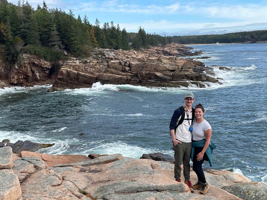
Distance: 1.7 miles, one way (3.4 total)
Difficulty: ☆☆
Details: In our opinion, the best way to see the Acadia coastline. It's a gravel path that's easy to walk, with multiple stopping points to scramble down rocks to the water's edge if you want! Along the path you'll be able to visit Boulder Beach and Thunder Hole.
Tips: Park at the Otter Cliff parking lot, and walk to the path on the edge of the cliff (finding parking at Sand Beach can be very crowded).
Gorge Path

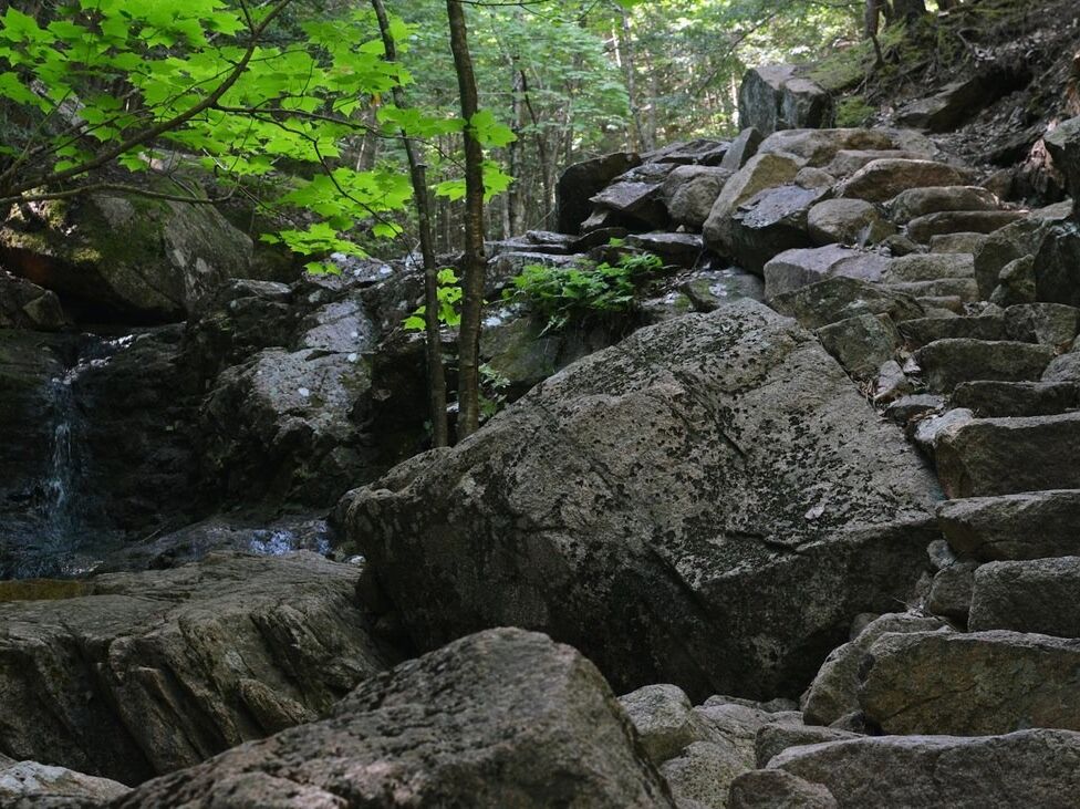
Distance: 2.5+ miles.
Difficulty: ☆☆☆
Details: This hike is great if you want to see small waterfalls and trek through the forest! It has small rock scrambles, and some stream crossings.
Tip: Park at the Gorge Path parking area, located off the Park Loop Road. Follow the stairs down along the side of the bridge. Continue straight at the sign. At the junction with Hemlock Trail, continue straight. *There is a couple of connectors once finished with this path to get back.